


Hiking through History
14.08.2022 Arts & Culture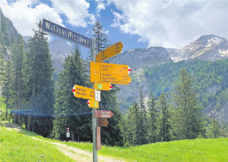
THE WALLISER WISPILE
The Saanenland during the Late Medieval Period was a restive place. Besides the counts of Gruyères, several noble families from outside the Saanenland owned or held seigneuries in the valley, including the barons of Raron and the lords of Ayent, Erlenbach, Allenbach and Kramburg. That they all did not get along all the time is almost axiomatic; arguments were frequent over forest rights, shared rent and administration agreements, and the use of common grazing land.
But the most interesting feudal accommodation in the Saanenland must be the one in 1379 between Count Rudolph IV of Gruyères and the commune of Savièse in Valais about the use of the count’s forests near Gsteig and the Savièse possession of pastures in the Saanenland. J.R.D. Zwahlen, in his Präfeodale und vorgrundherrliche Überreste aus altfreier Zeit in der Rechtsgeschichte der Landschaft Saanen (1949), goes into some detail about this unusual arrangement, which gives a unique perspective into land ownership and control in the later medieval period.
The commune of Savièse, first mentioned in 1200 as Saviesi, is located on a mountainside about 2 km north of Sion. Its boundaries extended north to where the modern-day Sanetsch gondola drops off its passengers. It was, and is, an area known for growing fruit, and especially wine grapes, since the Roman era. The farmers of Savièse had owned pastures and alps for grazing their cattle from just north of the Tsanfleuron glacier (the modern Glacier 3000 ski area) all the way up to the Wispile. If this sounds unusual to modern readers due to the distances involved, it helps to recall the historical settlement of the Saanenland. Apart from the Alemannic peoples who migrated west from the Simmental, much of the countryside, especially the villages of Gsteig and Lauenen, were also populated from the south, i.e., the Valais.
By the late 1300s, Gruyères had feudal overlordship of the entire Saanenland. Though there were farmers who had owned free, allodial holdings for generations that required no tribute to a feudal superior (i.e., no rents), the counts could claim any land others did not own through the so-called Wildnisregalien or wilderness rights. This included uncultivated and wildland not specifically entitled to anyone.
The 1379 agreement recognised that the Savièse, who moved their cows from the Valais to the Saanenland in the summer to graze on the tasty high alpine grass, did not have to pay fees to Gruyères for the practice because they had owned the pastures “since time immemorial.” But in order to milk their cows, shelter them in huts, and heat the milk to make cheese, they needed something for which they did not have any rights: wood.
The count of Gruyères owned all the forests between Gsteig and the Sanetsch. Since he couldn’t charge the Savièse for using their own land but could charge them for using his timber, a compromise was reached. In exchange for foresting rights, the Savièse would deliver two measures of fine Valaisan wine to Count Rudolph – clearly a win-win for both sides!
ALEX BERTEA
THE HIKE
Start either in Lauenen or Gsteig and ascend the Chrine trail to the Chrinepass (1657m) (distance and altitude gain vary – about 415-475m, respectively). Flowered meadows and shaded viewpoints abound. Take the trail to the Walliser Wispile (1950m), a climb of approximately 293m. Gorgeous views of the Gsteig and the Lauenen valleys await one at the top, somewhat overshadowed by the majestic Spitzhorn looming above. At a semi-brisk pace, the hike took about 4 hours from Lauenen Geltenhornplatz to the center of Gsteig.